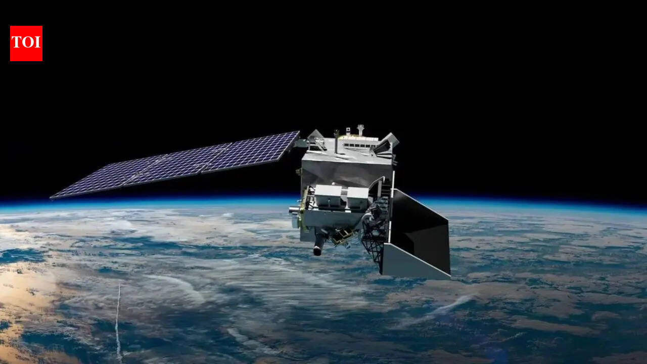
WASHINGTON — NASA's Plankton, Aerosol, Cloud, ocean Ecosystem (PACE) satellite, launched earlier this year, is now operational and providing unprecedented insights into the sources of air pollution across the globe. According to NASA officials, the satellite's advanced instruments can pinpoint the exact origins of pollutants, marking a significant advancement in environmental monitoring. The mission, which lifted off on February 8, 2024, from Vandenberg Space Force Base in California aboard a SpaceX Falcon 9 rocket, aims to enhance our understanding of how aerosols and other particles affect climate and health.
The PACE satellite represents a leap forward in Earth observation technology, building on decades of NASA's remote sensing efforts. Its Ocean Color Instrument (OCI) and two multi-angle polarimeters — the Hyper-Angular Rainbow Polarimeter (HARP2) and the SPExone — work together to measure light in ways that reveal the composition and movement of airborne particles. 'This capability will allow us to trace pollution back to its sources with remarkable precision,' said Jeremy Werdell, the PACE ocean biology processing group lead at NASA's Goddard Space Flight Center, in a statement released by the agency.
Air pollution remains a pressing global issue, contributing to millions of premature deaths annually, according to the World Health Organization. Traditional ground-based monitoring stations and older satellites have provided broad overviews, but they often struggle to isolate specific emission points, especially in remote or rapidly changing areas. The PACE mission addresses this gap by observing in the ultraviolet, visible, and near-infrared spectra, enabling scientists to distinguish between types of aerosols such as those from wildfires, industrial activity, or desert dust.
For instance, during recent observations over the Indian subcontinent, PACE data has helped identify pollution plumes from urban centers like Delhi and Mumbai, linking them directly to vehicular emissions and factory outputs. 'We're seeing the fingerprint of human activity in the atmosphere like never before,' noted K. Rama Krishnan, an atmospheric scientist at the Indian Institute of Tropical Meteorology, who has been collaborating with NASA on data analysis. This precision could empower regulators to enforce stricter controls on polluters, potentially reducing cross-border pollution disputes.
The satellite's ocean-focused capabilities also tie into air quality monitoring, as it tracks phytoplankton blooms influenced by airborne nutrients. These microscopic algae can both absorb carbon dioxide and, in excess, produce toxins harmful to marine life and human health. By mapping these interactions, PACE contributes to broader climate models. NASA reports that initial data from March 2024 showed enhanced phytoplankton activity in the North Atlantic, possibly linked to Saharan dust transport.
Environmental advocates have hailed the launch as a timely tool in the fight against climate change. 'PACE isn't just about watching the planet; it's about holding industries accountable for their emissions,' said Lena Johnson, policy director at the nonprofit Clean Air Watch, in an interview. She pointed to potential applications in litigation, where satellite evidence could substantiate claims against major polluters like coal plants or shipping routes.
However, some experts caution that while the technology is groundbreaking, translating data into actionable policy will require international cooperation. 'Satellite imagery is powerful, but ground truthing with local measurements is essential to avoid misinterpretations,' argued Dr. Maria Rossi, a senior researcher at the European Space Agency's climate division. ESA's own Sentinel satellites complement PACE by providing complementary data on land-based pollution, and joint analyses are already underway.
The development of PACE stems from a long history of NASA missions, including the Terra and Aqua satellites launched in the early 2000s, which laid the groundwork for aerosol studies. Costing approximately $800 million, the PACE project involved partnerships with universities and private firms, including Ball Aerospace, which built the OCI instrument. Launch delays due to technical issues pushed the mission from its original 2022 target, but the final deployment has exceeded expectations.
In urban areas worldwide, the implications are immediate. For example, in Los Angeles, where smog from traffic and ports has long plagued residents, preliminary PACE scans from April 2024 have mapped nitrate particles to specific freeway corridors. Local officials, including California Air Resources Board chair Liane Randolph, have expressed interest in integrating this data into state enforcement strategies. 'Real-time pollution sourcing could transform how we manage air quality,' Randolph said during a recent panel discussion.
Beyond pollution tracking, PACE's data will feed into global models predicting weather patterns and disease spread. Aerosol particles can influence cloud formation and rainfall, affecting agriculture in regions like the Midwest United States. Farmers in Appleton, Wisconsin, for instance, have noted how distant wildfires in Canada alter local haze levels, impacting crop yields. NASA's data portal, now live with PACE imagery, allows researchers and the public to access these visualizations.
Critics from industry sectors, however, worry about the potential for overregulation. Representatives from the American Petroleum Institute have argued that while accurate monitoring is valuable, it should not lead to undue burdens on energy production. 'We support scientific advancement, but economic impacts must be considered,' said API spokesperson Michael Whatley in a prepared statement. This tension highlights the dual role of such technologies in science and policy.
Looking ahead, NASA plans to expand PACE's dataset through collaborations with international partners, including the European Union and China. Upcoming software updates will enhance resolution to track even smaller emission sources, such as individual ships in international waters. 'The next phase is about turning observations into solutions,' Werdell added, emphasizing the mission's role in the UN's Sustainable Development Goals.
As climate events intensify — from the 2023 Canadian wildfires that blanketed the U.S. East Coast in smoke to ongoing industrial emissions in Asia — tools like PACE offer hope for targeted interventions. By providing verifiable evidence of pollution pathways, the satellite could foster diplomatic efforts to curb transboundary air quality issues. For residents breathing cleaner air tomorrow, the investment in space-based vigilance today seems well worth it.
In summary, NASA's PACE satellite is not merely an observer but a detective in the atmosphere, unraveling the threads of human impact on our shared skies. With its launch still fresh in memory, the mission's full potential is just beginning to unfold, promising a clearer, healthier future guided by precise science.