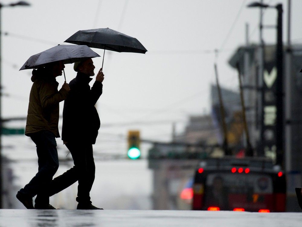
VANCOUVER, B.C. — Metro Vancouver residents are bracing for a deluge as a prolonged atmospheric river begins drenching the region, prompting Environment Canada to issue a rainfall warning for the area and Howe Sound starting Monday.
The weather system, described by meteorologists as a narrow corridor of concentrated moisture stretching from the tropics, is expected to linger over British Columbia's South Coast until Wednesday, delivering heavy rain at times. According to Environment Canada, about 90 to 120 millimetres of rain could fall by Wednesday morning, marking a soggy kickoff to spring break for families across the Lower Mainland.
"This atmospheric river is bringing prolonged periods of rain at times heavy," Environment Canada stated in its warning issued Friday. The agency highlighted the potential for significant disruptions, including pooling water on roads and in low-lying areas, as well as the risk of landslides in vulnerable spots like steep slopes and recently deforested land.
The impacts extend beyond urban centers. The B.C. River Forecast Centre has issued a high streamflow advisory covering the South Coast, including the North Shore, Metro Vancouver, Howe Sound, and the Sea to Sky corridor. "Rivers are expected to begin rising Monday, with peak levels possible early to mid-next week depending on the timing and intensity of the heaviest rainfall," the centre said in its advisory. It warned that smaller rivers and streams could see rapid rises during intense downpours, potentially leading to bank erosion, washouts, and localized flooding.
Adding to the challenges, rising freezing levels are anticipated to accelerate snowmelt in higher elevations. Environment Canada forecasts the freezing level climbing from near 500 metres to between 2,000 and 2,500 metres on Monday, which could swell creeks and rivers fed by mountain snowpack. This combination of heavy rain and melting snow heightens the flood risk in an area already prone to such events during wet winters.
Further north, the storm is set to hammer Whistler and the Sea to Sky Highway. Up to 15 to 20 centimetres of snow is expected in Whistler by midday Monday, transitioning to heavy rain totaling as much as 70 millimetres by Wednesday. Environment Canada urged drivers to prepare for deteriorating conditions along the highway north of Brandywine Falls, where slick roads and reduced visibility could pose serious hazards.
This atmospheric river arrives amid a season of variable weather in British Columbia. Earlier this winter, the province experienced bouts of extreme precipitation, including another atmospheric river in late January that caused widespread flooding and evacuations in the Fraser Valley. While no evacuations have been ordered yet for this event, officials are monitoring rivers closely, drawing on lessons from past storms to mitigate damage.
Local authorities echoed the warnings. DriveBC, the province's highway information service, advised motorists to check road conditions before traveling, especially on routes like Highway 99 to Whistler. "Be prepared should travel conditions deteriorate," Environment Canada noted, emphasizing the need for caution amid the mixed precipitation.
For Metro Vancouver's roughly 2.6 million residents, the timing couldn't be worse. Spring break, which began for many school districts last week, often sees families heading outdoors or to recreational spots. Parks like Stanley Park and beaches along the coast may see fewer visitors this week, as rain could turn trails muddy and picnic areas waterlogged.
Experts point to the broader pattern of atmospheric rivers becoming more intense due to climate change. According to a 2023 report from the Pacific Institute for Climate Solutions, these moisture plumes have increased in frequency and ferocity along the West Coast, contributing to events that strain infrastructure and ecosystems. While this storm isn't projected to reach the scale of the 2021 floods that paralyzed highways and devastated communities, it serves as a reminder of the region's vulnerability.
The B.C. River Forecast Centre's advisory underscores the dynamic nature of the threat. "Smaller rivers and streams may respond quickly to intense rainfall and could experience rapid rises during periods of heavy precipitation," it cautioned. Hydrologists are particularly watching the Capilano and Seymour rivers on the North Shore, which have a history of overflowing during heavy rains.
In Howe Sound, communities like Squamish and Lions Bay could face similar issues, with the advisory noting potential for washouts along shorelines. Environment Canada also flagged the risk of landslides, a concern amplified by ongoing development and forestry activities in steep terrain. Last year's slides in the area prompted emergency responses, and officials are urging residents in at-risk zones to stay informed via local alerts.
As the rain begins to fall Monday morning, emergency services are on standby. The Metro Vancouver Regional District has activated its flood response protocols, coordinating with municipalities to clear drains and monitor culverts. "We're preparing for the worst but hoping for the best," said a spokesperson for the regional district, who requested anonymity pending official statements.
Looking ahead, the atmospheric river is expected to weaken by Wednesday, but lingering moisture could keep showers going into the weekend. Environment Canada predicts a gradual clearing by Thursday, with temperatures warming slightly. For now, residents are advised to avoid low-lying areas, secure outdoor items, and have sandbags ready if needed.
This event highlights the ongoing need for resilient infrastructure in a warming climate. Investments in green stormwater management and early warning systems have helped in recent years, but experts say more is required to handle increasingly severe weather. As Metro Vancouver weathers this storm, the focus remains on safety and recovery, with communities pulling together as they have in past deluges.